Hyderabad Metro Route Map
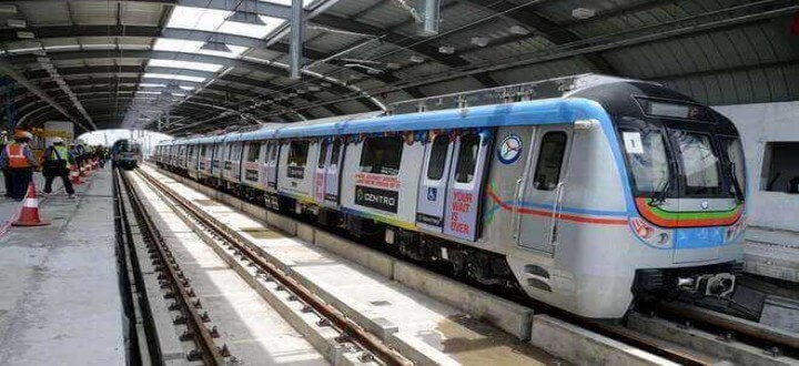
Hyderabad Metro Rail has three lines that together cover about 69 km and 57 stations. The first stretch opened on 28 November 2017, and the full Phase I network was running by early 2020. Since May 2026 the metro has been fully owned and run by the Telangana government. Use this route map guide to find your line, your station and the best place to change trains.
The three metro lines
| Line | From - To | Length | Stations |
|---|---|---|---|
| Red Line (Corridor I) | Miyapur - LB Nagar | About 29 km | 27 |
| Blue Line (Corridor III) | Nagole - Raidurg | About 27 km | 23 |
| Green Line (Corridor II) | JBS Parade Ground - MG Bus Station | About 11 km | 9 |
Interchange stations
- Ameerpet: Red Line and Blue Line. This is the busiest station on the network.
- MG Bus Station (MGBS): Red Line and Green Line, next to the main city bus terminal.
- Parade Ground: Blue Line and Green Line, linked to JBS Parade Ground.
Red Line stations (Miyapur to LB Nagar)
Miyapur, JNTU College, KPHB Colony, Kukatpally, Balanagar, Moosapet, Bharat Nagar, Erragadda, ESI Hospital, SR Nagar, Ameerpet, Punjagutta, Irrum Manzil, Khairatabad, Lakdikapul, Assembly, Nampally, Gandhi Bhavan, Osmania Medical College, MG Bus Station, Malakpet, New Market, Musarambagh, Dilsukhnagar, Chaitanyapuri, Victoria Memorial, LB Nagar.
Blue Line stations (Nagole to Raidurg)
Nagole, Uppal, Stadium, NGRI, Habsiguda, Tarnaka, Mettuguda, Secunderabad East, Parade Ground, Paradise, Rasoolpura, Prakash Nagar, Begumpet, Ameerpet, Madhura Nagar, Yusufguda, Road No. 5 Jubilee Hills, Jubilee Hills Check Post, Peddamma Gudi, Madhapur, Durgam Cheruvu, HITEC City, Raidurg.
Green Line stations (JBS to MGBS)
JBS Parade Ground, Secunderabad West, Gandhi Hospital, Musheerabad, RTC Cross Roads, Chikkadpally, Narayanaguda, Sultan Bazaar, MG Bus Station.
Stations near popular places
| Place | Nearest metro station |
|---|---|
| Birla Mandir, Lumbini Park | Lakdikapul or Khairatabad |
| Salar Jung Museum, Charminar side | MG Bus Station, then auto |
| Durgam Cheruvu cable bridge | Durgam Cheruvu |
| Secunderabad railway station | Secunderabad East or West |
| Nampally railway station | Nampally |
| Hitec City and Madhapur offices | HITEC City, Raidurg |
Timings and fares in brief
Trains start around 6:00 AM (about 7:00 AM on Sundays) and the last trains leave end stations between about 11:00 PM and 11:45 PM. Fares run from Rs.11 to Rs.69 by distance. See the full metro ticket price chart and metro train timings.
Phase II plans
The state has proposed Phase II extensions, including a line to Rajiv Gandhi International Airport, an old city extension from MGBS towards Chandrayangutta, and longer Red and Blue lines. Most of these were still awaiting central approval in 2025. Until they open, travellers to the airport use buses or cabs.
Combining metro with other transport
The metro links with MMTS trains at several points. Check the MMTS route map for those stations. For Ramoji Film City, the metro gets you to LB Nagar, and a road transfer covers the rest; our guide on the best metro ways to reach Ramoji Film City explains the steps. Visitors with little time can book a GoldBox Holidays one day Hyderabad city tour instead.
Frequently asked questions
How many metro lines are there in Hyderabad?
Three: the Red Line (Miyapur to LB Nagar), the Blue Line (Nagole to Raidurg) and the Green Line (JBS Parade Ground to MGBS).
Where do I change from the Red Line to the Blue Line?
At Ameerpet. Follow the signs between the two platforms; you do not need a new ticket.
Does the Hyderabad Metro go to the airport?
Not yet. An airport line is part of the Phase II plan.
Which metro station is nearest to Charminar?
The Green Line does not reach Charminar yet. Get off at MG Bus Station and take an auto for the last 2 to 3 km.